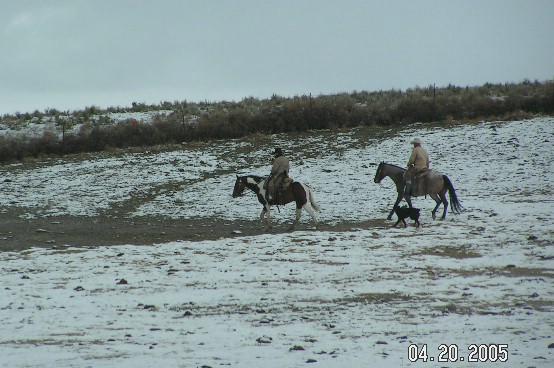
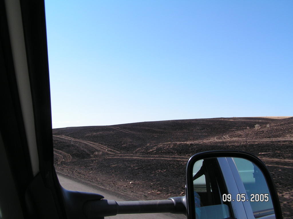
 The first photo of the cowboys and their herd dog was taken when we were heading west on I-84 in Idaho in April en route to Leavenworth, Washington. The second photograph was taken today of a similar landscape that had been burned by a grass fire recently. I'm not sure if the area of Idaho along Interstate 84 is always this arid or if they are suffering a severe drought. But as we pass signs for the original Oregon trail Denny and I discuss how tough it would have been for the pioneers headed towards Oregon to look to the west and see nothing but miles and miles of sage and salt brush and rocky, dusty ground. The endurance and courage and fortitude of those people are just totally beyond my ken. There's an Oregon Trail Interpretive Center back down the road about 27 miles, perhaps we'll head back that way this week to check it out.
It wasn't until we had gone to the High Desert Museum south of Bend, Oregon last month that I found out how those early travelers knew how to find water and shelter on the trail. In the "Early Settlers" section of the museum there was a tiny printed book on display that listed landmarks for areas where water could be found and where there were good places to shelter or stop, etc. I'm sure that there were plenty of people who just hit the trail without that type of information, relying on word of mouth or simply trudging along until they could go no farther.
Robert, the well-driller, had told me that as we head further east into Idaho and up towards Rexburg as we turn to north to go to West Yellowstone the reds of the trees would rival anything we could see in Vermont. First we have to start seeing trees, then we'll look for the fall color. It's hard to imagine fall is almost here since we had such a delightfully cool summer for so long in Washington. We didn't run into "summer" weather until we hit Oregon in August and now fall is approaching. I think that worked out well.

No comments:
Post a Comment